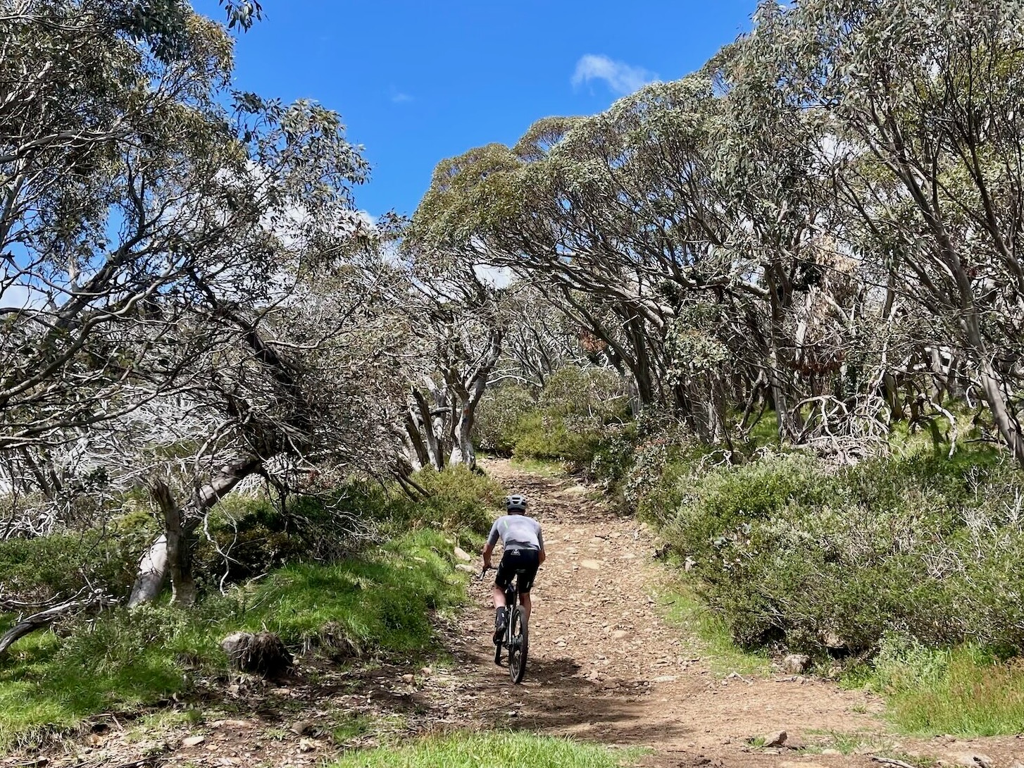

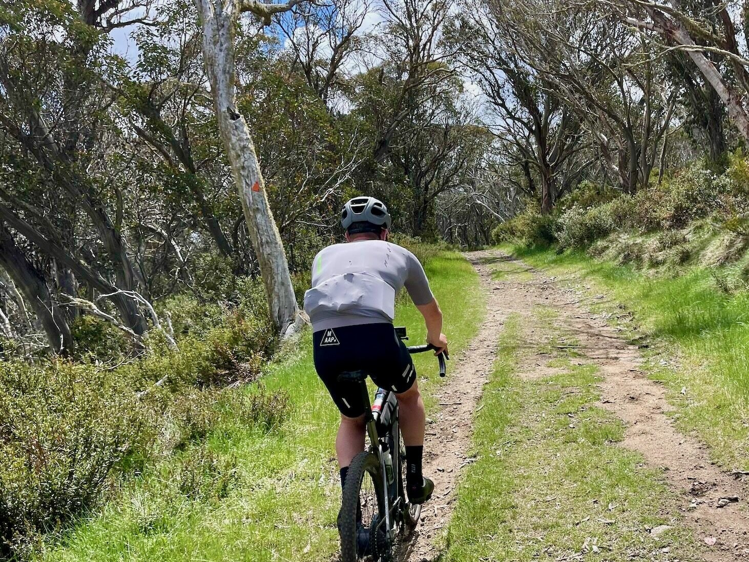
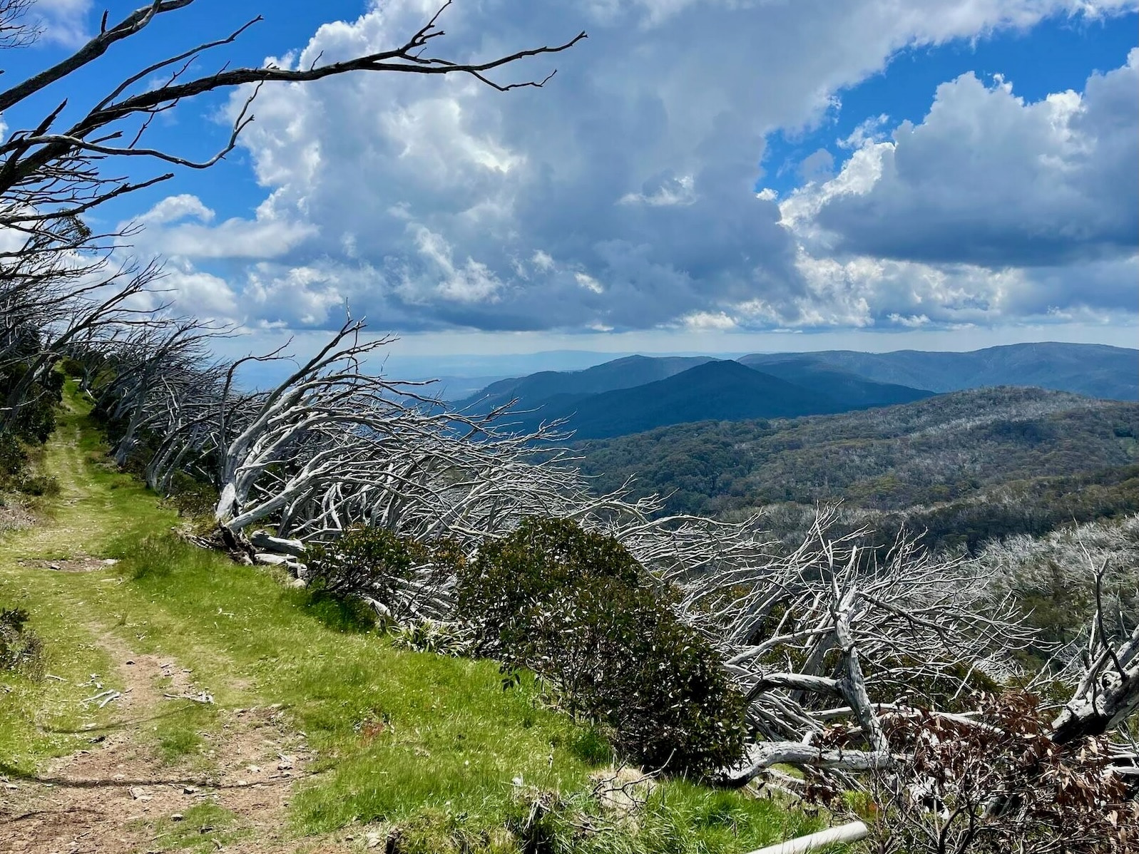

Immerse yourself in remote tranquillity as you traverse the iconic alpine landscapes of Mt Stirling past cattlemen's huts, bushland and beyond the alpine tree line. Suited for experts only, this route moves into adventure cycling with highly technical chunky gravel sections and formidable climbs that even the most skilled rider may need to walk in places. While the loop doesn't quite reach the summit, those craving more views and challenges can add a 900m gruelling ascent on the Bluff Spur Trail to Howqua Gap Trail.
Start location - Telephone Box Junction, Mt Stirling
Finish location - Telephone Box Junction, Mt Stirling
Elevation gain - 503m
Water & Toilets - Telephone Box Junction, Mt Stirling
Note - Always check the weather forecast before heading out for a ride in Victoria's alps. This route is only open in the Green season from November to early May.
Looking for more unforgettable gravel rides? Click here to check out the full Ride High Country gravel network.