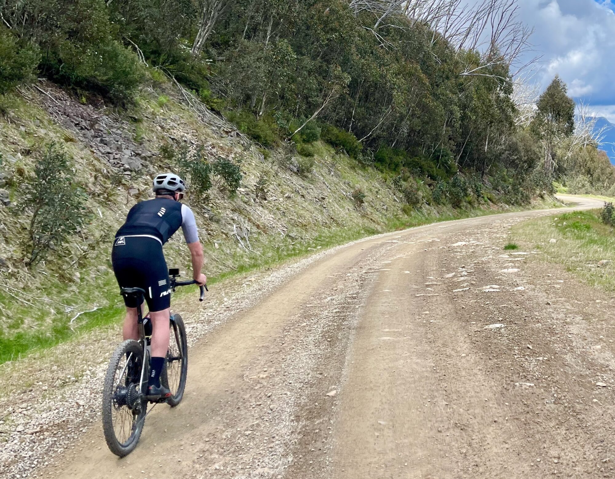
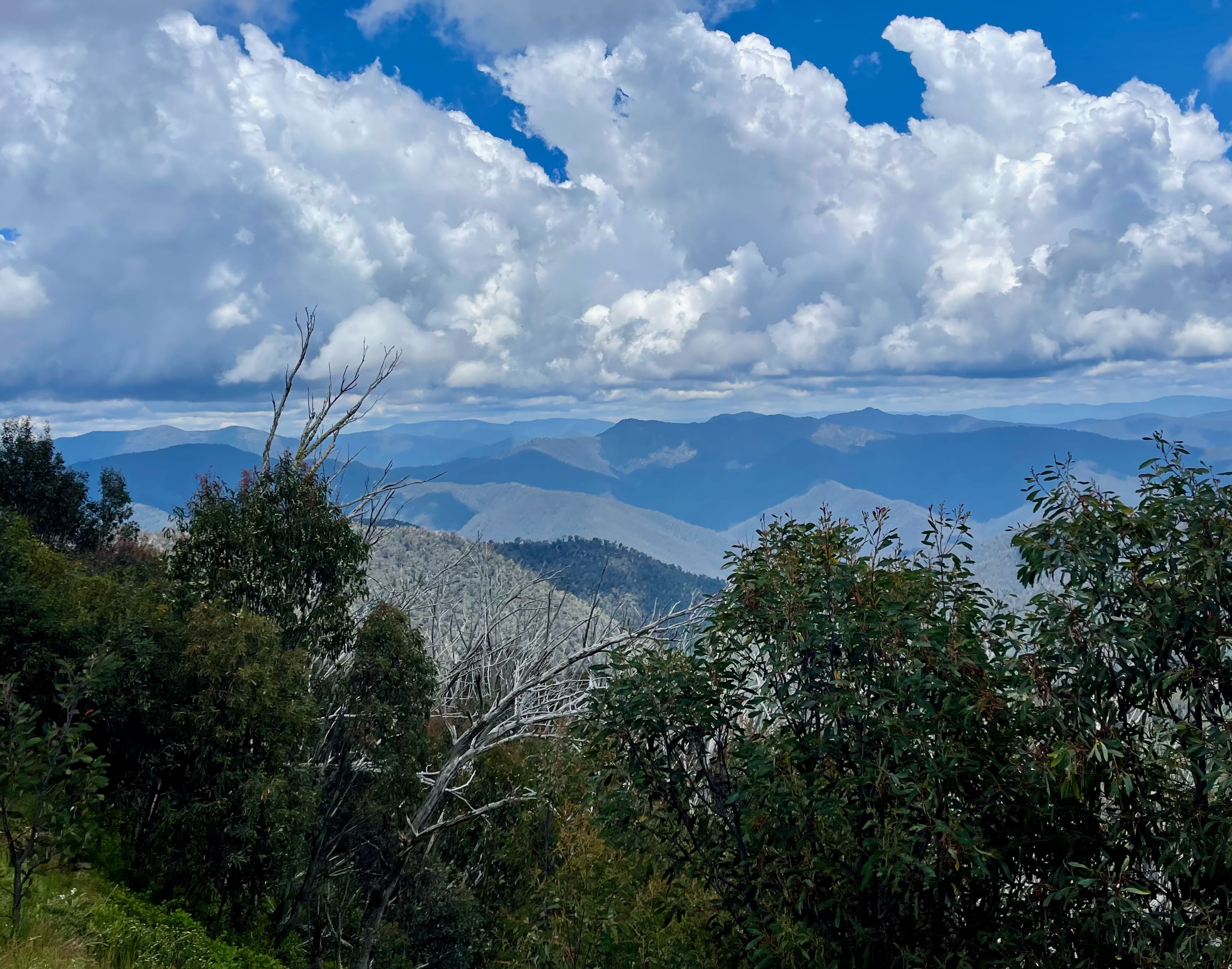
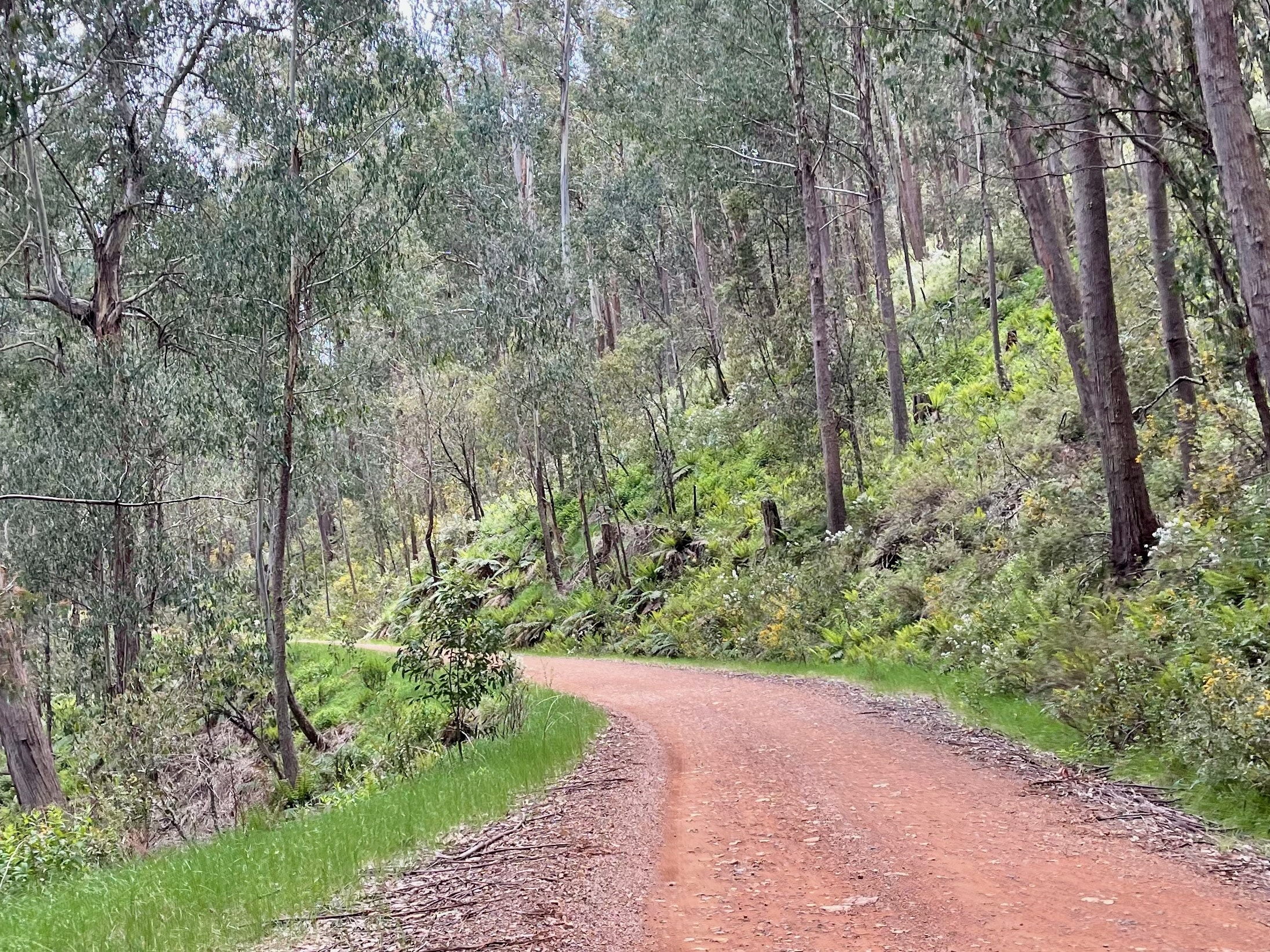
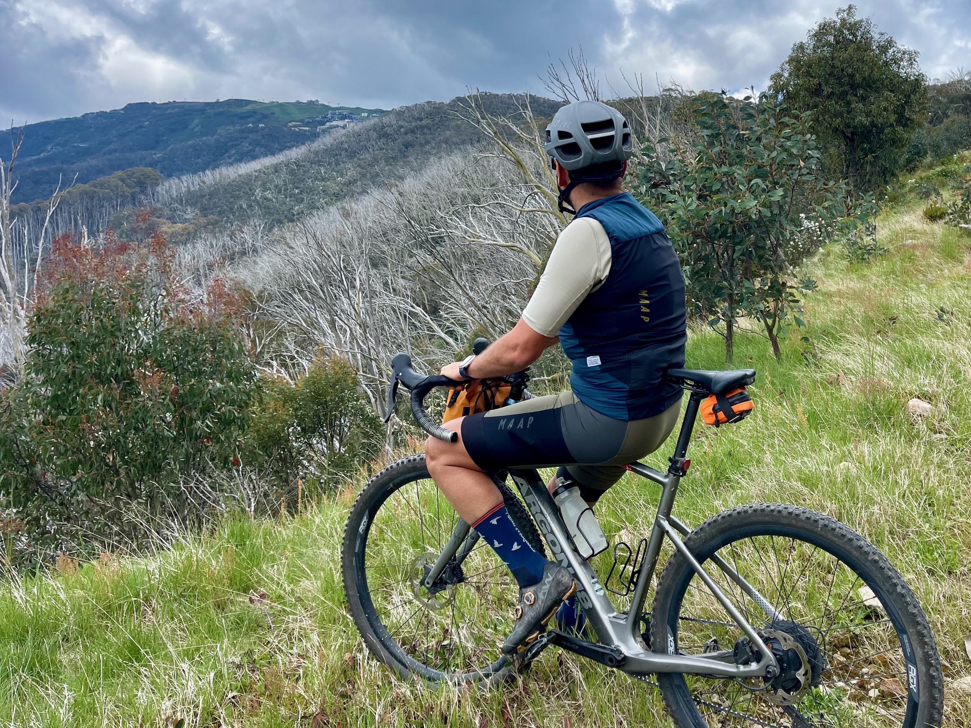
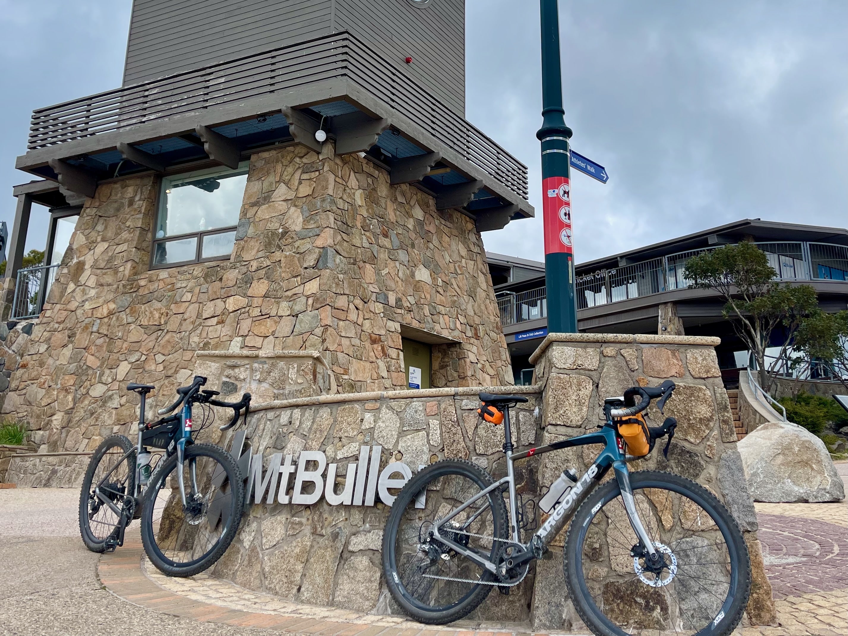
Connecting Telephone Box Junction and Mt Buller Village, this point-to-point route is ideal for intermediate cyclists looking to increase their gravel skills and fitness at altitude. Traverse technical features and climb through the native bushland of the Great Dividing Range while being serenaded by the local birdlife. Celebrate your achievement with a drink and a meal at one of Mt Buller's cosy pubs or cafes before returning via the same route or catching a pre-organised lift.
Start location - Telephone Box Junction, Mt Stirling
Finish location - Village Square, Mt Buller
Route distance - 14.6km
Elevation gain - 536m
Water - Telephone Box Junction & Mt Buller Village
Toilets - Telephone Box Junction, Howqua Gap & Mt Buller Village
Note - Always check the weather forecast before heading out for a ride in Victoria's alps. This route is only open in the Green season from November to early May.
Looking for more unforgettable gravel rides? Click here to check out the full Ride High Country gravel network.

